What specific AI technologies are integrated into the OL-1 satellite
Introduction
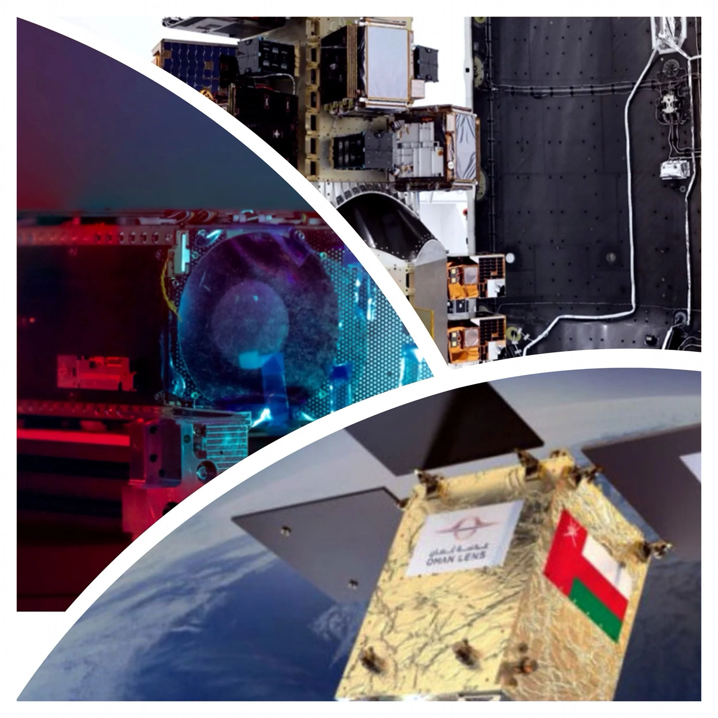
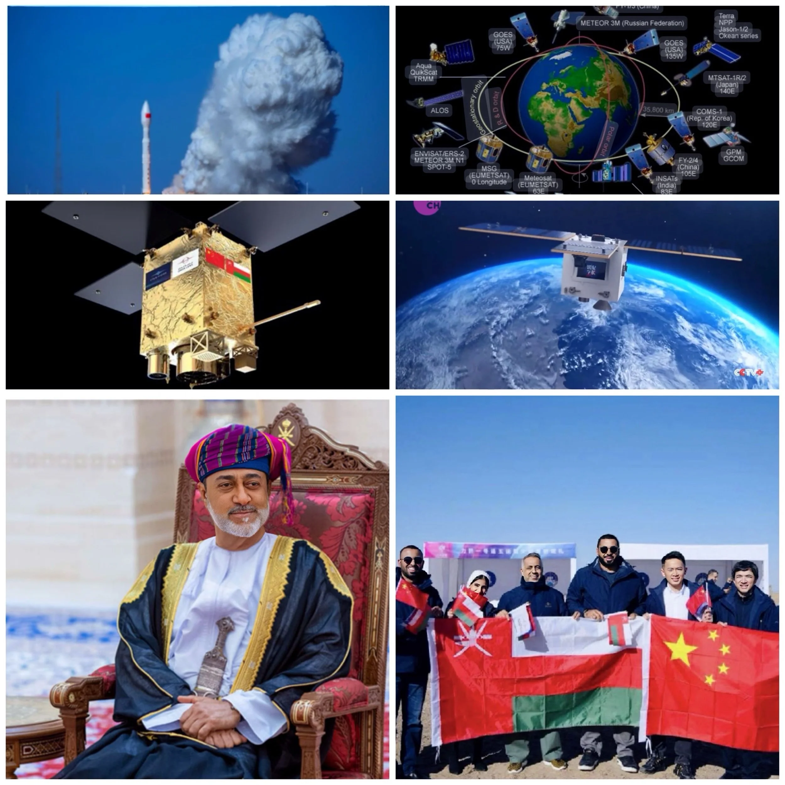
The OL-1 satellite, launched by Oman in November 2024, integrates advanced artificial intelligence (AI) technologies that significantly enhance its capabilities for remote sensing and Earth observation. Here are the specific AI technologies and features integrated into OL-1:
Real-Time Data Processing and Analysis
OL-1 uses AI to process high-resolution imagery in real time, enabling rapid analysis and actionable insights. This is a significant improvement over traditional satellites, which typically require more time for data processing.
Anomaly Detection
The AI systems onboard can detect anomalies in the environment, such as changes in land use or unexpected environmental shifts, with exceptional accuracy.
Land Cover Classification and Environmental Monitoring
The satellite employs AI to classify land cover types and monitor environmental conditions, providing precise and detailed insights for applications like urban planning, resource management, and disaster response.
Pattern Recognition and Predictive Analytics
AI enhances OL-1’s ability to identify patterns in the captured data, such as vegetation health or infrastructure changes, and supports predictive analytics to anticipate potential issues or trends.
Conclusion
These capabilities position OL-1 as a cutting-edge tool for supporting Oman’s national development goals under Vision 2040, contributing to areas such as smart city planning, agriculture, disaster management, and infrastructure monitoring.